
Drones are becoming increasingly popular in day-to-day use. From filming live events to delivering packages to keeping an eye on wildlife, the use and impact of the technology are growing rapidly, including in the design and construction industry.
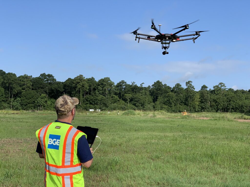
Our Unmanned Aerial Systems (UAS) services have expanded over the years and have significantly impacted projects’ efficiency, as well as client and community relations. Traditionally, engineers relied on extensive boots-on-the-ground surveying or manned aviation with non-georeferenced basic imagery when managing large-scale projects.
Now, we use drones to provide a diverse range of surveying deliverables. With just one drone, we can provide geo-referenced 2D aerial imagery, time-stamped video and 3D digital imagery that can be processed into very dense topographic, survey-grade deliverables. The benefits have been amazing.
Improves Efficiency
One of the most time-consuming needs for any significant land or site development engineering project is collecting topographic survey data. We’ve been able to significantly decrease the time required to collect topo data for large areas using drones. For one project, we gathered natural land data for 300 acres in a single day. It would have taken at least a week, and we would only have been able to collect shots on a 50-foot grid instead of every foot to five feet with the drone.
The total project is more than 1,000 acres and would require updated information every few weeks, so you can imagine how much time we’re able to save using the drone footage. It’s important to note that every day saved on a project amounts to several thousand dollars saved by the client.
Improves Client and Stakeholder Relations
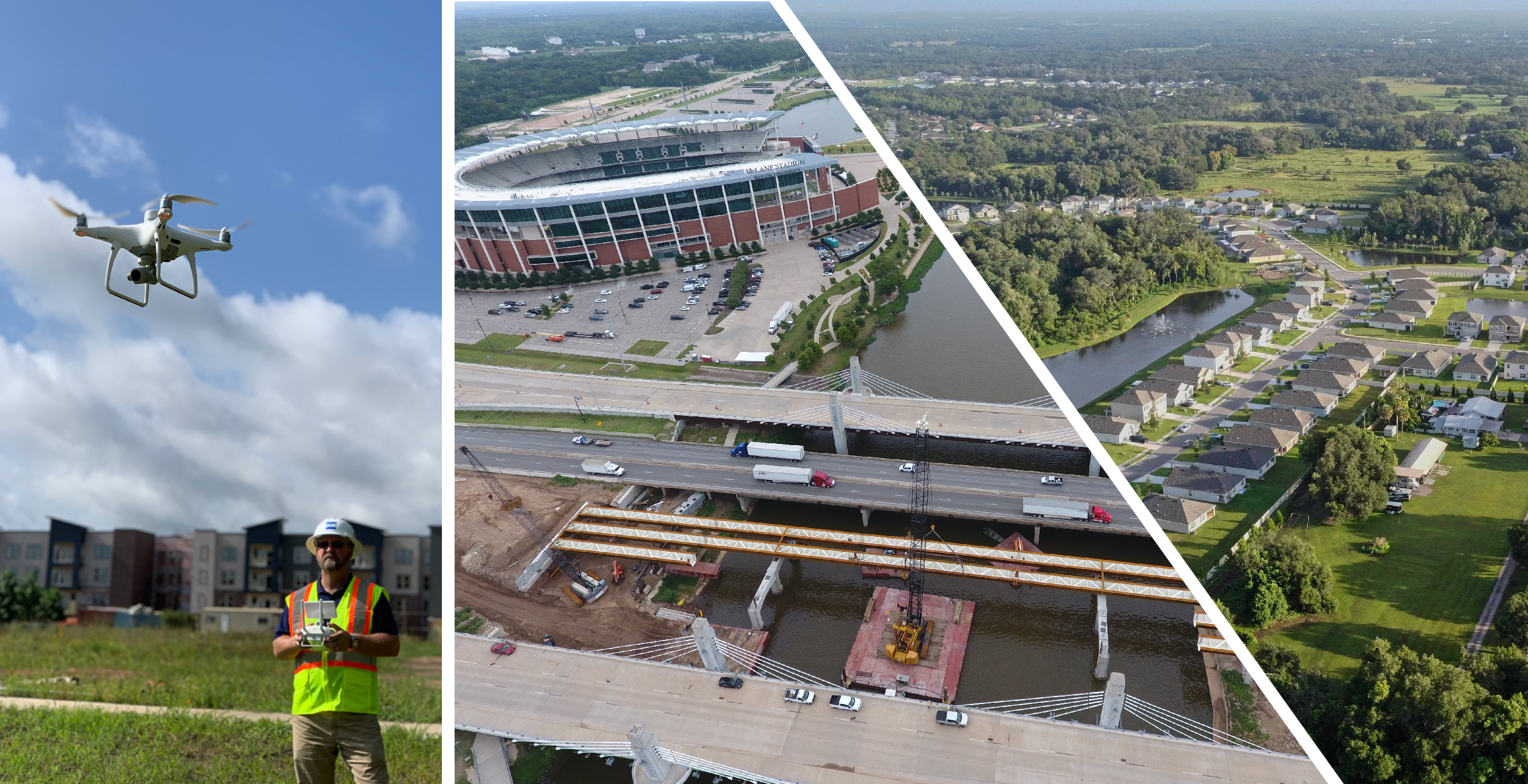
Although most projects are intended to enhance communities, the construction phase can be quite challenging for residents, business owners and other stakeholders. By providing drone imagery of construction progress, we’ve been able to equip our clients with visuals to provide enhanced updates to the community.
A notable example of the impact is the IH 35 4B project. It is a 7-mile, $341 million, complete ROW-to-ROW reconstruction of IH 35 in the heart of Texas and is considered the largest design-bid-build project in the state. Every month during construction, we took aerial imagery of the project for TxDOT’s district engineer. The visuals were shared in monthly stakeholder meetings that included residents, representatives from the City of Waco and downtown business district representatives.
Eventually, we also provided a flyover video to show to stakeholders. Seeing how quickly the project was progressing eased the concerns of local businesses, while assuring the City of Waco the project was on schedule and budget. The video was even featured in a local news segment that went over well in the community.
Assists with Asset Mapping
Another great benefit of drones is the growing technology of up-to-date asset mapping imagery. In short, it is the digital cataloging of infrastructure in any given space. It is used to identify and locate various resources and areas of concern for projects, including storm drains, fire hydrants, utility lines, detention ponds, land plots, trees, wetlands, etc.


Each asset map can be personalized to manage an array of projects. Drones provide real-time, up-to-date aerial footage and imagery that isn’t always readily available through other sources. Platforms like Nearmap only update once a month, which may not contain the most recent visuals for an area. By flying over areas on demand, we ensure asset maps are always the most current for clients. This has a significant impact on planning and schedule management for projects.
As someone who uses the technology daily in my job, I can attest to how beneficial the service has become. I’ve received feedback from my coworkers and clients over the years that reminds me how impactful drones are to developing a more sustainable world. The most exciting part of it all is that the service is still developing. Even at BGE, we have a lot more to come using the technology.
I can’t wait to see how the technology continues to grow!