Overview
BGE served as the surveying consultant to support the acquisition and due diligence report for an 800+ acre esplanade-style community that will include more than 1,200 residential units around an 18-hole golf course and amenity center. Kolter Land Partners, LLC acquired this farmland known as Oak Ridge Ranches in rural west St. Lucie County. BGE’s Survey Department provided boundary, topographic, and tree surveys with platting expected for this planned MPUD.
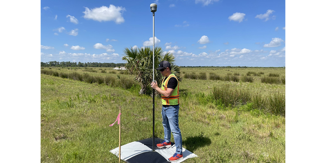
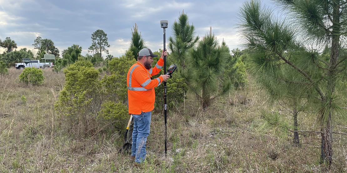
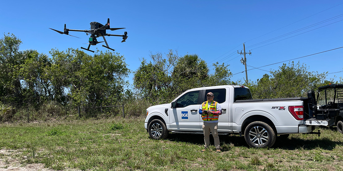
The boundary recovery required the locating of nearly two dozen section corners. Many of which were on neighboring private property and required special access. The topographic survey was performed with a Zenmuse lidar sensor from an unmanned aerial vehicle (UAV) and completed in half a day. The point cloud acquired by the sensor was registered to 12 aerial targets set throughout the site. The canals running through the site were obtained by field crews taking cross-sections and mapping the ends and outfalls. The point cloud data provided sufficient elevations to drape a surface over the dry furrows. All datasets were merged together in a single file to create a unified surface that accurately portrays the relief of the project site.
BGE worked with the client on many different versions of the project perimeter, ensuring that the site plan and the boundary survey were the same. This up-to-date collaboration and coordination guaranteed that everyone was working from the same file, resulting in no delays due to miscommunication.
Project
Image Gallery
Explore the project gallery to see how our commitment to excellence serves our clients and community.