Overview
The Texas Department of Transportation (TxDOT) Dallas District has embarked on a major project to reconstruct and widen 4.7 miles of FM 3286 (E. Lucas Road)/FM 546, spanning from FM 1378 to FM 982 in Collin County, Texas. This comprehensive initiative involves developing a detailed design schematic, preparing environmental documents, and conducting necessary studies to support the schematic work. Additionally, the project includes public engagement, permit procurement, data collection and analysis, preliminary drainage design, and conceptual traffic control plans. To ensure a thorough and safe roadway design, the scope encompasses traffic projections, traffic engineering—including simulations—capacity and safety analysis, 3D modeling, surveying, mapping, and utility engineering investigation (SUE).
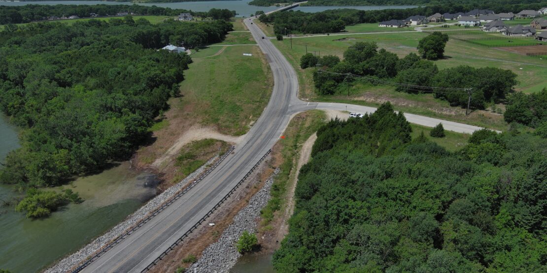
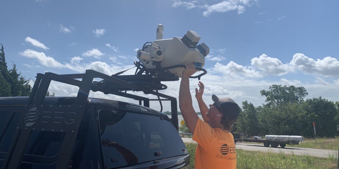
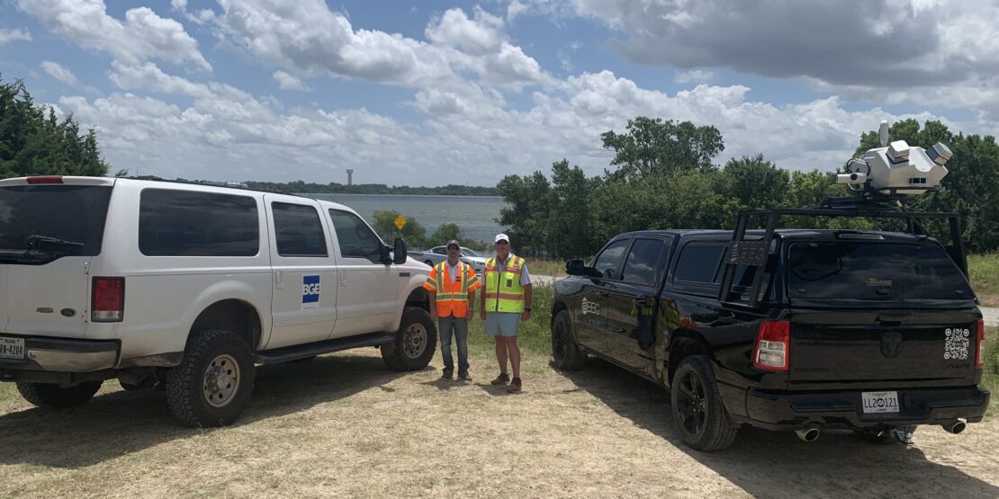
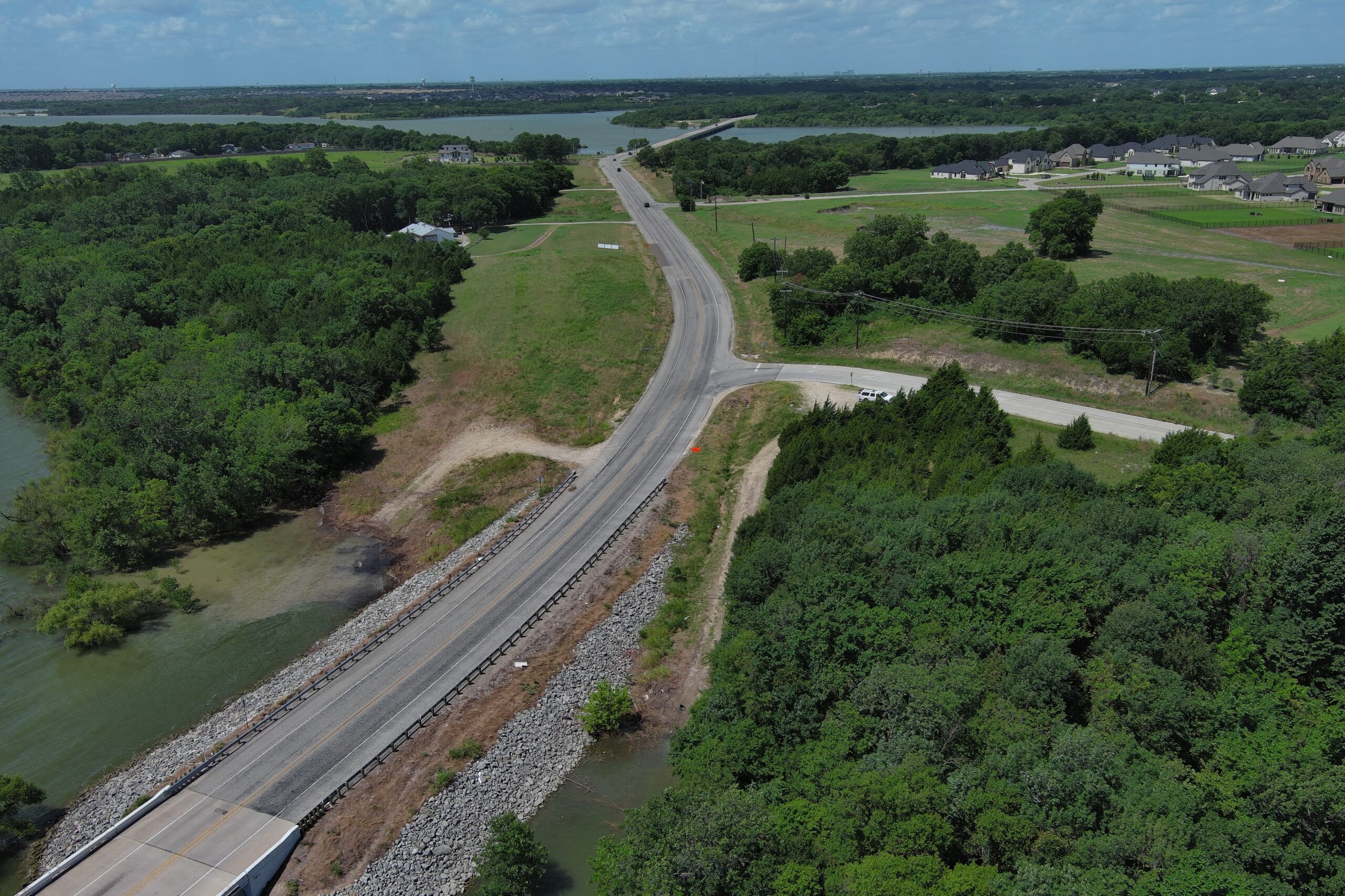
A significant challenge encountered during the project was accurately surveying the underside of two bridges crossing Lavon Lake. One bridge spans approximately 1,400 feet, while the other extends over a mile. To address this, BGE collaborated closely with aerial and mobile lidar survey subconsultants to devise an innovative solution. The team began by establishing Ground Control Points (GCPs) with redundant GPS observations to guide the aerial lidar survey. Subsequently, a vehicle-mounted mobile lidar survey was conducted for the bridge sections, leveraging the GCPs and the aerial lidar data for control.
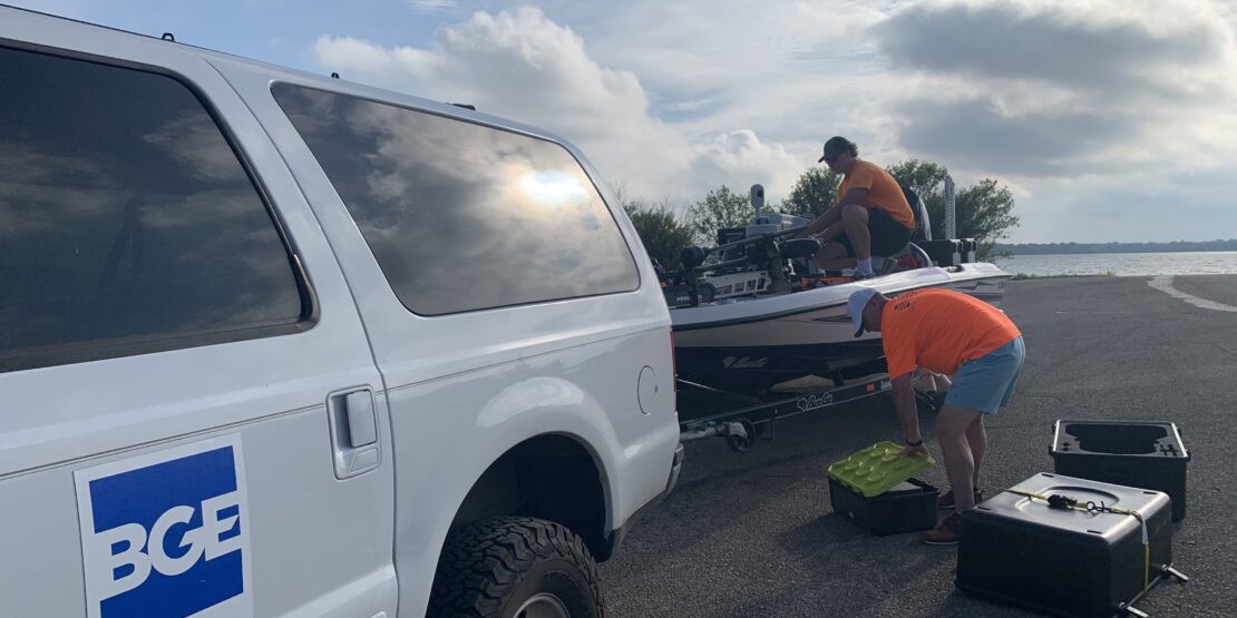
To tackle the survey of the bridges’ underwater structures, the subconsultants employed a small boat equipped with mobile lidar technology. The boat conducted parallel and perpendicular runs along each bridge, capturing detailed data from the water. The combined data from the vehicle-mounted and boat-mounted surveys, along with the aerial survey, allowed for precise control and registration of the lidar information. With this comprehensive data set, the BGE mapping team developed 3D models of the bridge elements, including columns, bents, girders, and the exterior bottom of the bridge walls.
This innovative approach not only provided a highly accurate survey of the critical bridge components but also avoided the need for traditional, more disruptive methods that would have required lane closures and potentially impacted traffic flow and public safety. The ability to visualize, implement, and deliver such out-of-the-box solutions showcases the value of having a skilled and resourceful engineering team.
Project
Image Gallery
Explore the project gallery to see how our commitment to excellence serves our clients and community.