The incorporation of modern technologies adds precision and diversity to the work of land surveyors, making it an increasingly interesting career for a new generation.
The evolution of land surveying tools spans millennia, from primitive implements to modern precision instruments. Early surveyors relied on basic tools like chains, ropes, and wooden stakes to measure distances and establish boundaries. As civilization advanced, so did surveying techniques.
Today, surveyors across the globe harness cutting-edge technology, including robotic total stations, GPS units boasting centimeter-level accuracy, drones equipped with high-resolution cameras, and LiDAR sensors. The integration of new technologies not only streamlines land surveyors’ work but also adds depth, precision, and versatility to their tasks, making it an increasingly interesting and dynamic field.
One of LiDAR’s most remarkable capabilities, for example, is its ability to penetrate through vegetation, including dense forests. It can detect surface features and structures that are otherwise invisible from the ground or through traditional aerial imagery. LiDAR technology has also revolutionized how archaeologists and surveyors identify and document ancient ruins, historical landscapes, and hidden structures.
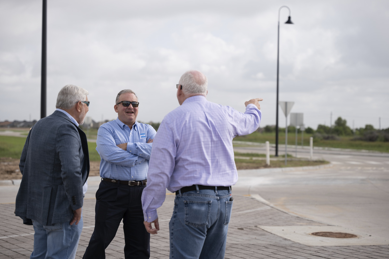
Surveying is essential to every aspect of what BGE does. It touches all the firm’s service lines — transportation, land and site development, environmental services, public works, construction management, and planning and landscape architecture. Whether it’s subdivision layout, right-of-way surveying, topographic surveying, construction staking, unmanned aerial systems services, or a large-scale boundary survey, the surveying team is involved, and their work allows BGE clients to make informed development decisions.


Advancing The Profession
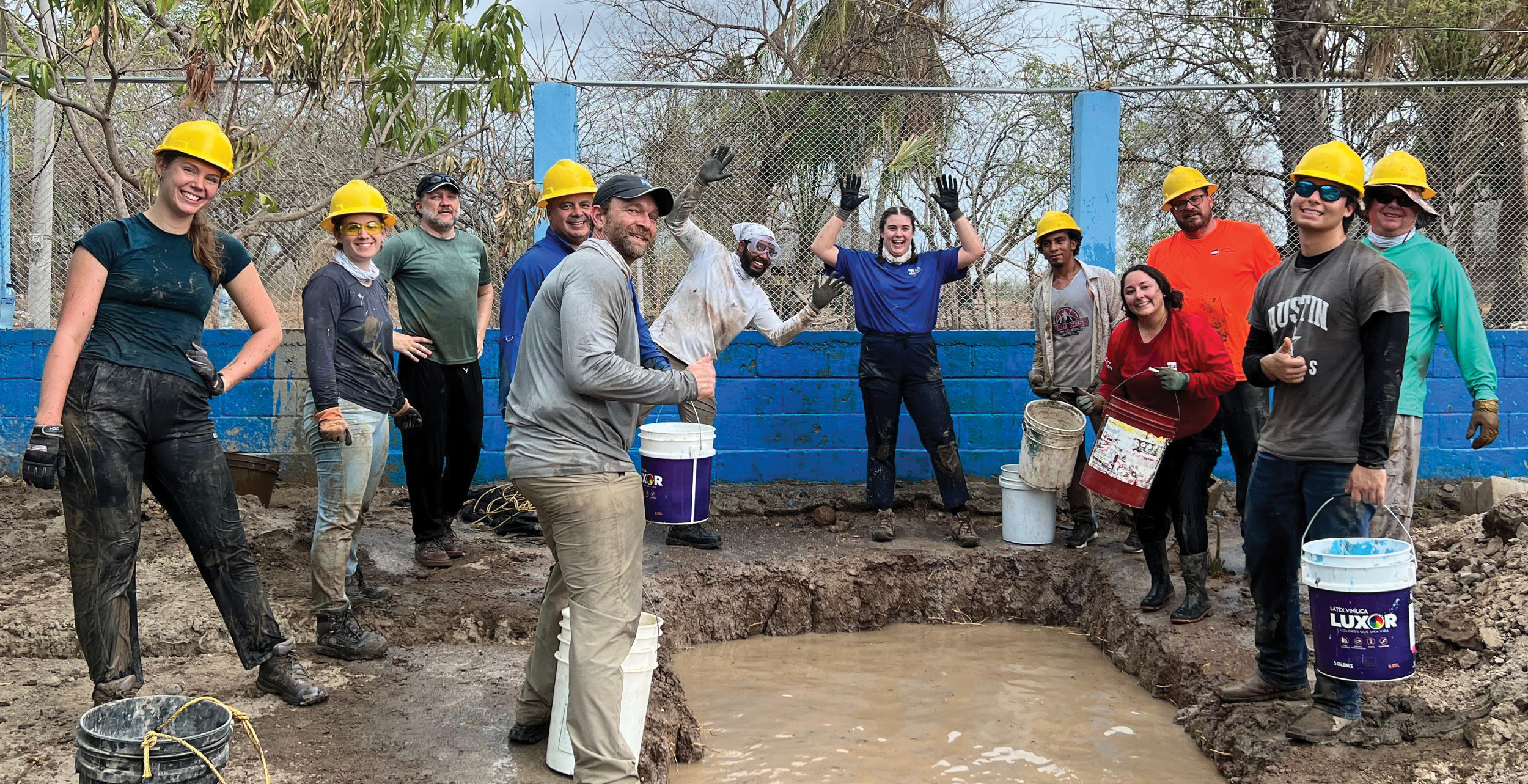
Land surveyors play a central role in transforming our surroundings: experiencing the fulfillment of witnessing their projects enhance both constructed and natural settings, ranging from more eco-friendly transportation networks to revitalizing urban developments. Their work remains vital in shaping our world.
At BGE, our mission extends beyond providing top-tier land surveying services; we are committed to advancing the profession. We are advocates for integrating land surveying into Science, Technology, Engineering, and Mathematics (STEM) programs, engaging with potential professionals through social media platforms, and showcasing technological advancements to the next generation.
We encourage our surveying professionals to get involved in industry societies, aiming to foster awareness and inspire the next generation to consider land surveying as a viable and fulfilling career option.
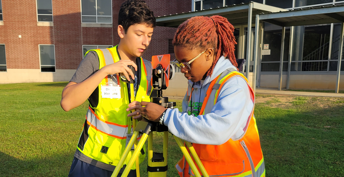
In Klein Independent School District (Klein ISD), a school district in Harris County, Texas, we actively support the Geospatial Engineering & Land Surveying pathway, which provides an opportunity to explore a career path while earning college credits in high school. Students who choose this accelerated college pathway gain hands-on experience with high-end industry software and data collection equipment.
Land surveying has flourished, changed, and grown with every new technical development and age. The profession is here to stay, and its importance is set to continue as society evolves and faces new challenges related to land, property, environmental conservation, and legal and regulatory compliance.
As custodians of precision and advocates for advancement, we look forward to navigating what the future holds for the art and science of land surveying: the cornerstone upon which our visible world is built.


Ready to explore a career in land surveying? Click here to see BGE’s current job opportunities in this dynamic field!
Want to learn about BGE’s top-tier land surveying services, click here to contact our team now.
We can map it!